
Answer in brief
A UN meeting brings sea-level rise back to the agenda. Global trends matter, but a community needs local elevation, land movement and storm-risk evidence before choosing a response.
The UN meeting and the physical problem
The United Nations scheduled a 24 September 2026 high-level plenary on the existential threats posed by sea-level rise. That language reflects the gravity of the issue for exposed communities, but it should not be mistaken for a forecast of a particular flood on a particular date. WMO documents the longer-term climate context; NOAA's sea-level resources explain why local conditions require their own assessment. A coastal authority needs both scales. Global observations help explain a shared problem and the case for international cooperation, while local measurements tell an engineer or planner what a specific harbour, road or neighbourhood may face. No single global number can replace an elevation survey, a tide record or a storm scenario for a real site.
Relative sea level is the useful local measure
The height of the ocean relative to land is what matters to a coastal asset. If the land is sinking, local relative sea level can change differently from the global mean. Shoreline shape, drainage, tides and the interaction with storm surge add further conditions. That does not weaken the evidence for global sea-level rise; it explains why adaptation decisions need local data. A city considering a new seawall and a hospital updating an emergency access route may use the same broad climate evidence but require different design studies. Readers should ask which datum, baseline period and future horizon a chart uses before comparing two projections. Apparent disagreement can be caused by different questions, not necessarily by one source being wrong.
Adaptation is a sequence of choices
Protection, accommodation and relocation are broad families of responses, each with costs and trade-offs. A protective structure may give time to an existing neighbourhood but require upkeep; changing a building or drainage system may reduce repeated disruption while leaving a larger regional risk unresolved; moving an activity can reduce exposure while changing livelihoods and community ties. None should be sold as a universal answer. What matters first is the service to preserve, the expected life of the asset, the people affected and the uncertainty the decision must withstand. A transparent plan includes triggers for reassessment rather than pretending that one design will remain adequate regardless of new observations or changing land use.
How to read an international declaration
A high-level meeting can help set political attention and create language for cooperation, yet a local risk does not decline merely because it is named internationally. The practical questions are whether technical assistance becomes easier to access, whether financing is usable by exposed communities, and whether reporting makes commitments auditable. The meeting's official documents should be read before claiming any of those outcomes. WMO and NOAA are sources for physical context, not substitutes for what the UN participants actually decided. Conversely, a declaration is a statement of policy direction, not a parcel-level risk map. Responsible reporting keeps those functions separate so readers can see both the urgency and the work still required.
A more useful public conversation
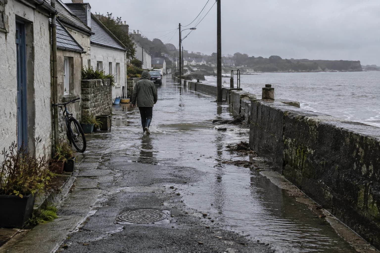
A headline about water levels often asks whether a city will be underwater. The more useful question is which services become unreliable first, for whom, and under what combined conditions of tide, storm and land movement. Access roads, electricity, drainage, insurance and housing can face different thresholds. Community members need the assumptions behind a plan, not only its polished visualisation. They should be able to ask who pays for protection, who receives help to adapt and who carries residual risk. An editorial illustration of a coastal planning desk is not evidence of damage to any named place. Its purpose is to make the subject visible while the article points to primary data and the need for local investigation.
A coastal project decision that can be audited
A credible coastal adaptation decision starts with a specific place and a specific asset. A port, a hospital, a home and a power substation have different service lives and different consequences if access fails. First establish the asset's elevation, local ground movement, drainage and exposure to storms. Then compare more than one time horizon, because a short maintenance decision should not silently determine a much longer capital project. A global sea-level curve is useful context, but it is not a parcel-level engineering design or a guarantee of what one street will experience.
The next step is to make assumptions inspectable. Record the datum used for water levels, the source and date of any projection, whether local subsidence is included, and how storm surge or heavy rain changes the scenario. A proposal that presents one precise number without those conditions can look more certain than the evidence allows. Teams should also explain what would trigger an update: new observations, a revised local plan, or a change in the asset's intended lifespan. That makes adaptation a monitored decision rather than a one-off graphic.
Options have different distributional effects. Protection can preserve an existing site while moving risk to another area; accommodation may keep a business operating but demand maintenance and insurance; relocation can reduce exposure while imposing social and economic costs. None of these is a universal default. Public discussion should identify who pays, who gains time, and who remains exposed when a measure is delayed. The UN meeting matters precisely because low-lying communities may face a problem whose financing and governance extend far beyond their own borders.
The most responsible reading of a high-level declaration is therefore practical and conditional. Did it create a mechanism for technical support, better access to finance or more usable planning information? Which commitments can a coastal authority turn into a budget line or a procurement decision? WMO and NOAA materials are reference points for the physical problem, while local authorities must still translate them into design choices. A visually compelling map should never erase uncertainty or turn an illustrative image of a coast into evidence that a named community has already been damaged.
From international language to a local budget
A mayor or asset owner cannot budget an existential threat as a single line called 'sea-level rise'. The work must be broken into surveys, drainage, maintenance, access, emergency planning and, for long-lived sites, capital design. Some measures buy time while a larger decision remains open. Others lock in the location of roads or buildings for decades. A high-level UN discussion is useful if it improves technical support or finance, but its value to a particular community appears only when those resources can be matched with a documented risk and a feasible decision. The article's practical aim is to help readers ask for that chain of evidence, not to supply engineering advice for a site it has not examined.
If a community receives a striking global projection, the next useful question is how local sea level is measured relative to its land. Ground motion, shoreline shape, tidal range and storm conditions can change the meaning of the same global figure. This is why using a precise number from WMO in place of a local assessment would be a category error. Good reporting can carry both scales at once: the global signal explains the collective urgency, while the site-specific study explains a design choice. Readers deserve to know which scale a sentence refers to before they are asked to support a project, a premium or a relocation plan.
One decision to ask for locally
A resident considering a coastal proposal can ask for the mapped elevation, the assumed time horizon and the organisation responsible for maintaining the proposed protection. Those are answerable questions even when national leaders are still debating the wider problem. They also reveal whether a project addresses occasional flooding, chronic inundation or another hazard. It would be misleading to use a global sea-level average as if it were a survey of one street. The UN meeting can help sustain attention, while WMO and NOAA provide scientific context; a local authority still needs site-level evidence and a transparent choice among options. That division of responsibility is a practical standard for future coverage.