
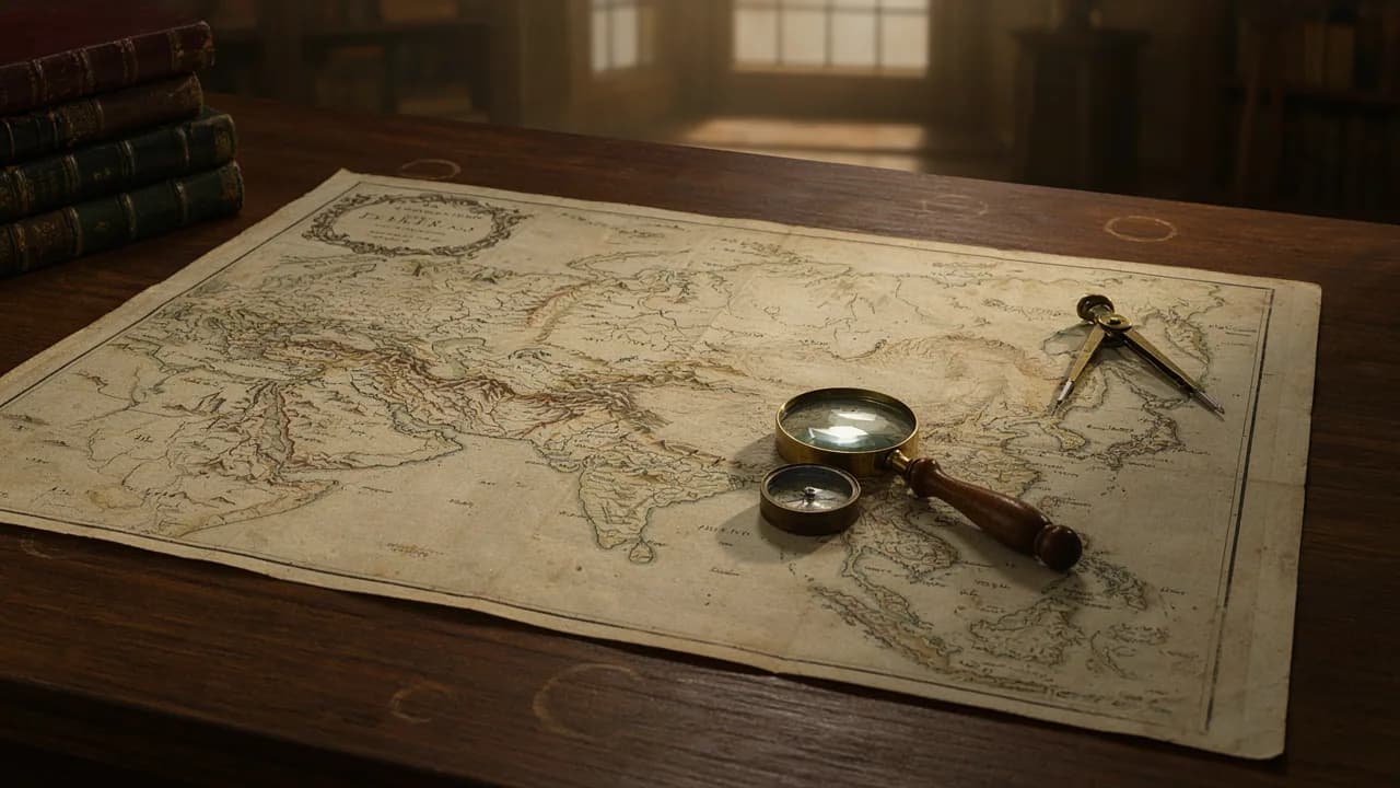
A label across half of Asia
In 1570, Antwerp saw the publication of Abraham Ortelius’s Theatrum Orbis Terrarum, the first modern atlas. One of its sheets carries a huge title: “Tartariae sive Magni Chami Regni typus”, or “Tartary, or the Kingdom of the Great Khan”. A land stretches from the Volga and the Caspian to the Pacific, with the khan himself drawn in a tent. At its eastern edge, across a strait that never existed, California appears.
Today the map is posted with a caption: “Here is the empire they hid from you.” Great Tartary, say the video makers, was a civilisation with free energy, star-shaped fortresses and palaces, until a “mud flood” swept it away and the textbooks fell silent. People search for the “map of Tartaria” and the “Tartaria coat of arms”, and find pictures that take the breath away.
The maps are genuine. The empire is not on them. To see the difference, you only have to read the labels.
What the word really meant
Tartary was not the name of a state. It was a label Europe stuck on lands it knew almost nothing about. It was born in the thirteenth century, after the Mongol invasions. The newcomers were called “Tatars”, and the extra “r” crept in when the word was blended with Tartarus, the underworld of torment in Greek myth. The people of the steppe themselves are highly unlikely to have called their lands Tartary, the Library of Congress notes.
Mapmakers filled the blank with the word. On Ortelius’s sheet it runs from the Volga to the Pacific. On Nicolaes Visscher’s map of 1657 it lies across northern and central Asia with no borders and no coloured regions. Later it was split into Chinese, Independent, Muscovite and Little Tartary, and by 1885 maps showed Turkestan, Mongolia and Manchuria instead.
The 1771 Encyclopaedia Britannica, so often cited by believers, gives Tartary 77 words: “a vast country in the northern parts of Asia”. It is a reference note on geography and peoples, not the story of a power.
Where the “erased empire” came from
The first version was born offline. From the 1970s and 1980s, the Moscow mathematician Anatoly Fomenko and his co-author Gleb Nosovsky built a “New Chronology”: in their telling, recorded history is far shorter than we are taught, and medieval Eurasia was one state, a “Russian Horde” that they linked to Great Tartary. Historians were rejecting their methods as early as 1982, and from 1999 to 2002 the quarrel played out in the pages of the Herald of the Russian Academy of Sciences.
The second life began around 2016. The first “mud flood” videos appeared on YouTube in August 2016, and real interest, according to Google Trends, only woke up in late 2018. Tartary moved out of thick books and into pictures: basements buried up to their windows, empty streets in old photographs, the palaces of world’s fairs. The Russian context almost vanished along the way.
The theory’s favourite move is to show a beautiful building and ask, “Who could have built that in the nineteenth century?” There is nearly always an answer, and it sits in an archive.
The Tartary coat of arms: what is actually drawn
The state of Tartary has no coat of arms, because there was no such state. The picture passed off as one was drawn by Dutch engravers. In Carel Allard’s flag tables of the late seventeenth and early eighteenth centuries, the “flag of the King of Tartary” is a yellow banner with a black winged serpent, and another “Tartar” flag shows a black owl. Flag scholars regard these drawings as, in all likelihood, fantasies on the theme of the Great Khan’s banners.
The maps of Tartary are real, held in the Library of Congress and other collections and open to everyone. That is why the answer to “Tartaria history” is shorter than lovers of mystery would like: it is not the story of a lost power, but of how Europe spent centuries giving one name to everything it did not know.
What the dossier holds
The locked dossier reads the Ortelius sheet label by label, sets three Britannica entries printed 89 years apart side by side, and shows exactly what historians, linguists and the Academy of Sciences answered to Fomenko and Nosovsky. It also holds the documents that test each “clue”, from the White City that burned in Chicago to the streets the city lifted on jackscrews. And it explains where the picture with the black serpent got the label “coat of arms”.